Location
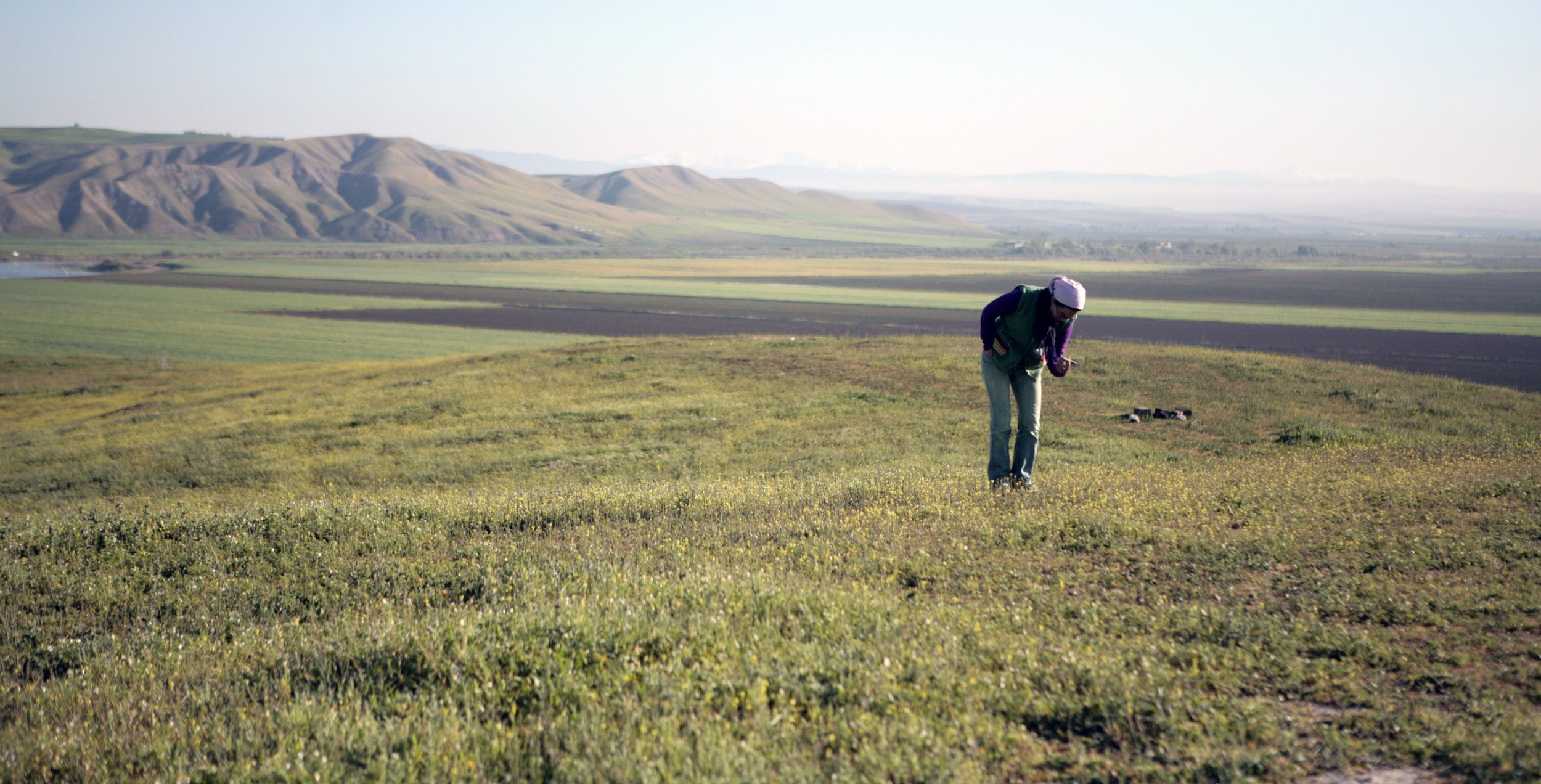
The modern site of ZIyaret Tepe sits on the right bank of the Tigris River in the Diyarbakır Province of southeastern Turkey. The site sits atop a very low rise in the floodplain of the river amongst the distant green fields in the photograph to the left. “Tepe” means ‘mound’ or ‘hill’ and in the midground, you can see the flat-topped tepe that is the citadel of the ancient settlement. This photograph faces south and in foreground, you see an erosion-resistant range of low hills carved out by the Tigris River which now flows at the foot of the hills.
The broad floodplain is excellent farmland and has been used for agriculture and grazing since the Neolithic period. The photograph to the right was taken facing north so the low hills from the previous photograph are now seen in the distance. The modern agricultural fields were traditionally planted in wheat but recently also used for growing cotton under irrigation. Ceramicist Azer Keskin examines the surface of the northeastern part of the citadel at the start of our 2010 season.

Chronology

The earliest documented evidence for occupation at Ziyaret Tepe dates back to the Early Bronze Age (c. 3rd millennium BC) when a small fortified settlement was built on an existing low rise of land. The site was occupied more or less continuously over the next three millennia, followed by a brief period between the 1st and late 4th centuries AD. During the Late Roman period, Ziyaret Tepe was home to a few farmsteads in the lower city, while the citadel remained unoccupied until a Late Medieval village was built in the early 15th century.
This chart shows the occupational levels at each of the sixteen Operations at Ziyaret Tepe. Long sequences from the step trench in Operation E and citadel excavations in the “Bronze Palace” of Operation A/N span the entire occupation of the site, while many of the excavation areas in the Lower Town are limited to Late Assyrian and Late Roman occupation.