Back in Erbil
Welcome back to everyone who has been following the Sebittu Project on my blog. After a wild ride this past year, it is great to be back on the Erbil Plain and starting our third season of archaeological fieldwork. The seven small Neo-Assyrian settlements (c, 900 – 600 BC) of the Sebittu Project cluster together about an hour’s drive southwest of Erbil (ancient Arbela) now the capital of the Kurdish Region of Iraq and once an important city of ancient Assyria and an UNESCO world heritage site.
For those of you just joining the blog, you might want to check out some of my earlier posts for background on our project: Welcome to the Sebittu Project (8/10/2023), Our Morning Routine (8/29/2023), and The Slow March of Science (9/21/2024) are good starting points.
Our overarching goal is an attempt to understand what life was like in the farmsteads, hamlets, and villages of the Neo-Assyrian countryside – who lived there, what their houses were like, what did they eat, what goods did they produce, and with whom did they trade and interact. These seem like pretty basic things for archaeologists to know about the ancient Assyrians and, in fact, we do know quite a bit already about these topics. However, much of what archaeologists and historians have learned comes from written cuneiform texts and the excavation of elite structures like palaces, temples, and the homes of the rich. In other words, it’s a top-down story. The Sebittu Project aims to fill in the some holes in our knowledge by focusing on the unassuming, commonplace, and often drab items that form the archaeological record of everyday life in ancient Assyria.
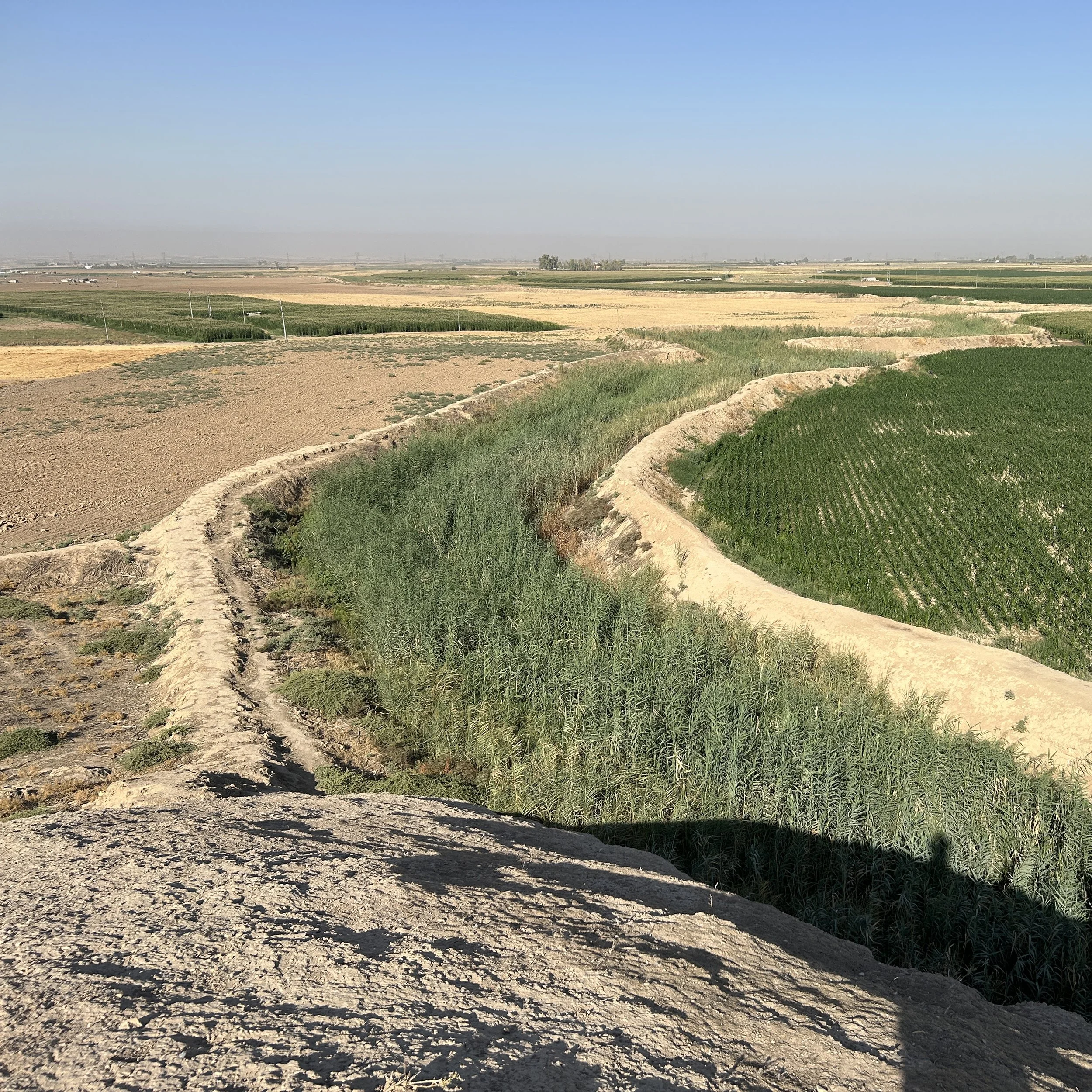
View of the Erbil Plain from the top of the ancient site of Girdi Tandura in 2025. The wadi (small river) and irrigated fields on the right of the photo contrast with the dry, brown un-irrigated fields on the right. The plain is a patchwork of these contrasting colors. Water is a major concern today, as it was in the Iron Age.
This year I am focused on mapping the houses and other archaeological features at sites in the Sebittu area. Like in 2023, I am using a technology called magnetic field gradiometry to map these subsurface features without excavation. The geophysical maps will then help us locate the best spots for excavation in our 2026 field season. If you look back at last year’s posts, you will see the first map ever made of the Neo-Assyrian hamlet of Sirawa (that is it’s modern name, not what the residents called it in the 7th century BC).
At the moment I am targeting a new site – currently called Site 292 (we’ll get it a proper name soon) – about which we know three things: where it was located, that it was inhabited in Neo-Assyrian times, and roughly how big it was. We know these from pottery found during previous surface surveys conducted by another team (EPAS) in 2017. Before then, Site 292 was unknown to scholars, although local farmers would have noticed lots of broken pot sherds scattered on the ground as they plowed and worked the land for the twenty-six centuries since the site was abandoned.
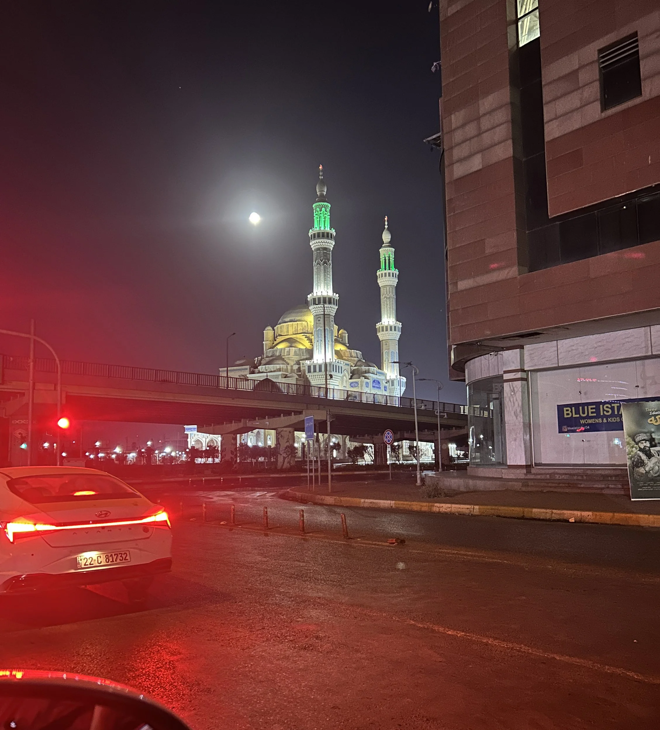
Street scene in Erbil early in the morning on the way to work. Erbil is rapidly expanding modern city that is home to roughly a million people. Housing and other infrastructure is being constructed for significant growth as people are drawn to Erbil for work.